The Sacred Mountain – Lingaparvata (Phou Kao)
Published 2024.08.15 by 유다연
ອະທິບາຍ
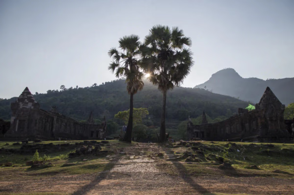
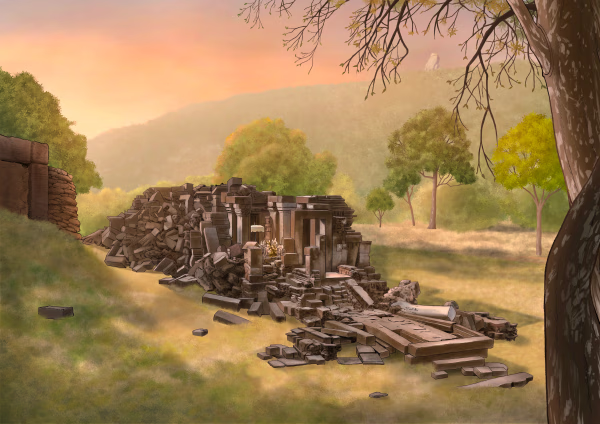
Lingaparvata (Phu Kao) seen behind the Vat Phou ruins)
Lingaparvata Legends and mythologies across the world share the concept of Axis Mundi to indicate the navel of the universe, the pillar of the universe, the connecting pillar between Heaven and Earth, etc. People usually decorated a sacred tree, a holy mountain, a totem pole, or a pillar, or raised a column of ritual smoke or fire to represent the Axis Mundi. The linga is an aniconic phallic-shaped symbol of the Hindu god Shiva, one of the three representative gods of Hinduism along with Vishnu and Brahma. Linga is revered as the symbol of Axis Mundi by followers. Svayambhu is a Sanskrit word that means “self-manifested” or “self-existing.” Thus, Svayambhu-linga is a linga not made by humans, but one that has arisen naturally.
The worship of Svayambhu-linga is popular in Hindu traditions, and there are many pilgrim centers of Svayambhu-linga that attract pilgrims from far-off places. Lingaparvata, or the Mountain of Linga, is the Sanskrit name given to a mountain whose outcrop on the summit, which is around 10 m high, was worshiped as a Svayambhu-linga (elevation 1,416 m). Researchers have found the remains of brick platforms and a carved linga at its foot. This sacred Svayambhu-linga is likely to have been venerated as the Axis Mundi, the center of the Khmer empire or universe. Inscriptions reveal that many Khmer kings, high officials, and Hindu saints from distant Angkor or even India visited this place.
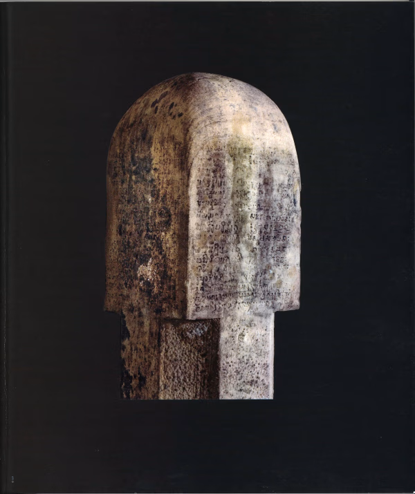
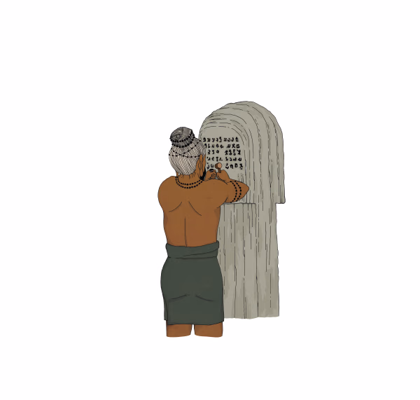
This inscription is crucial because it indicates the early presence of Sanskrit and Tamil cultural influences in southern Laos, dating back to before 450 CE. The discovery of this inscription has helped scholars better understand the cultural and religious exchanges that occurred in this region long before the height of the Khmer Empire (Wikimedia Commons) (Backpack Moments).
For those visiting the Vat Phou site, the Devanika Inscription provides an invaluable glimpse into the region's rich historical and cultural heritage.
ບົດທີ
ການນິດສະການທີ່ກ່ຽວຂ້ອງ
Natural History
Online Exhibition of the Vat Phou Champasak Ruins and the Excavation of Hong Nang Sida
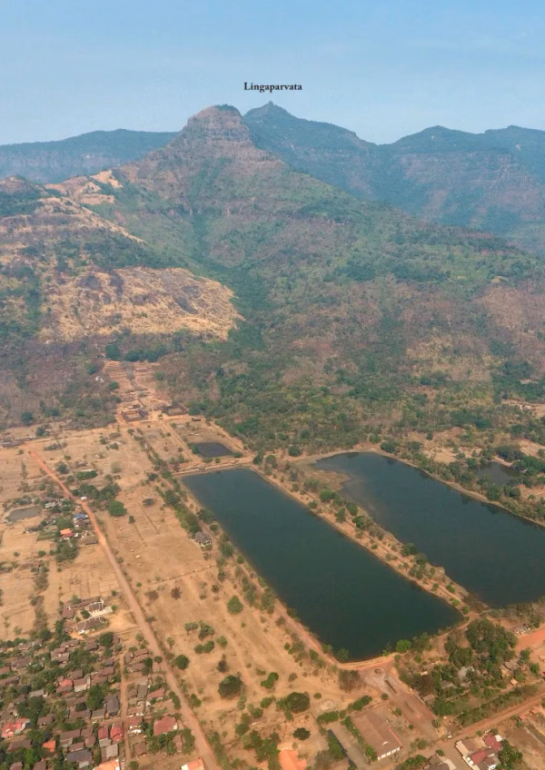
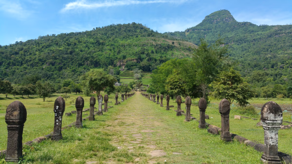
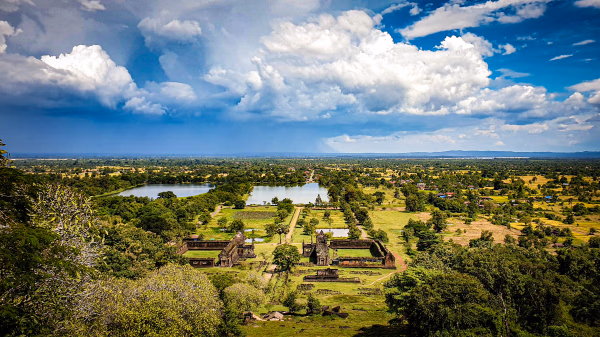
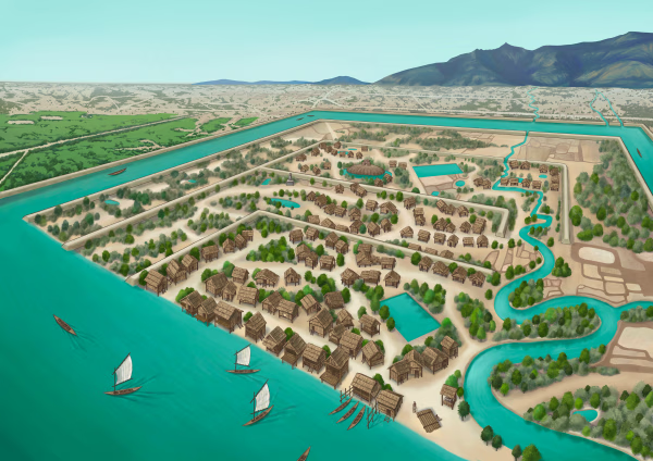
The Vat Phou - Champasak site lies on fertile alluvial plains on the banks of the Mekong River, and its mountainous core is the eastern outlier of the Dângrêk Range, which is home to the Phou Kao Mountains that rise up to an altitude of 1,416 meters.
Natural History
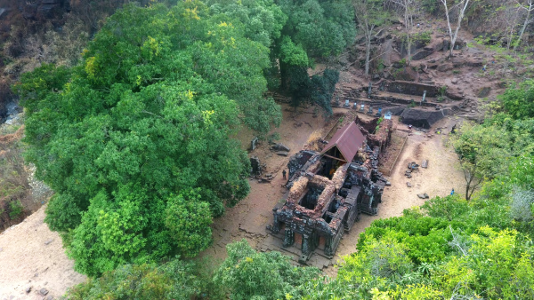
Lao-Korea Cooperation Project : Hong Nang Sida Temple
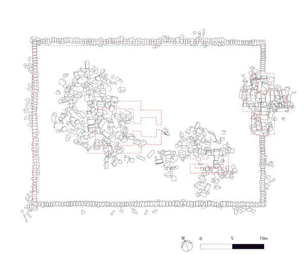
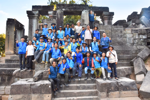
Since 2013, the Cultural Heritage Administration and the Korea Cultural Heritage Foundation have been working on a heritage restoration project at the World Heritage Site “Vat Phou and Associated Ancient Settlements within the Champasak Cultural Landscape” in Lao PDR. The project focuses on restoring the collapsed stone structure called Hong Nang Sida, located in the southern part of the Vat Phou Temple Complex. This site, also known as the “Temple of Princess Sida,” is gradually regaining its original appearance thanks to the ongoing restoration efforts by a Korean research team.
Natural History
Sacred River
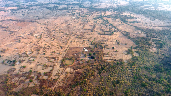
The archaeological site of the ancient city is situated on the plains adjacent to the Mekong River. The city was surrounded by two layers of brick and earthen ramparts, with a moat in between. These ramparts measured approximately 2.4 km from north to south and 1.8 km from east to west, with the best-preserved sections standing up to 6 meters high and 14 meters thick. The walls and moats were likely constructed to manage and utilize the waters from the Phou Kao Mountains' tributaries.