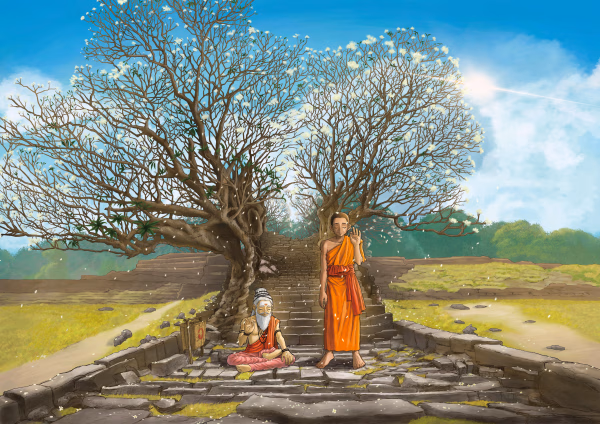
The ancient sanctuary of the Khmer Empire, Vat Phou-Champasak
Vat Phu-Champasak Site
Published 2024.08.20 by 유다연
ອະທິບາຍ
The official UNESCO designation is "Vat Phou and Associated Ancient Settlements within the Champasak Cultural Landscape."
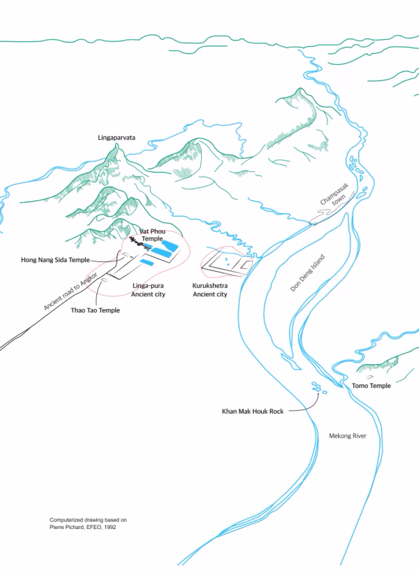
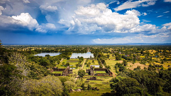
The Vat Phou-Champasak ruins are spread widely over the Champasak plains along the Mekong River in southern Laos, including numerous ancient ruins and natural heritage sites. It can be helpful to think of it as similar to the cultural heritage sites in Gyeongju, such as Bulguksa Temple and Seokguram Grotto, along with Namsan and Hyeongsangang River areas.
The site is located approximately 48 km east of the Laos-Thailand border and about 132 km north of the Laos-Cambodia border.
Champasak
The Champasak Plains had geographical importance in the pre-Angkorian and Angkorian periods. And later the first Lao Kingdom, Lan Xang, was established in the 14th century by King Fa Ngum after he conquered and unified the whole northern region as well as the Champasak Plains. Luang Prabang remained the administrative seat of Lan Xang until King Saysetthathirath moved the kingdom’s capital to Vientiane (present capital of Lao PDR) in 1560. After the death of Surigna Vongsa in 1694, Lan Xang broke up into three separate kingdoms: Vientiane, Luang Prabang, and Champasak. In the 18th and 19th centuries, Champasak was ruled by a royal family different from that in Vientiane and Luang Prabang. When Laos was colonized by the French during the 19th-20th century, Champasak also became part of the colony. During this period, the royal family of Champasak continued to rule under the new colonial administrative system.
At the beginning of the 20th century, the political administration shifted to Pakse, which is now the capital of Champasak Province and the base camp for exploring southern Laos.
ບົດທີ
ການນິດສະການທີ່ກ່ຽວຂ້ອງ
Natural History
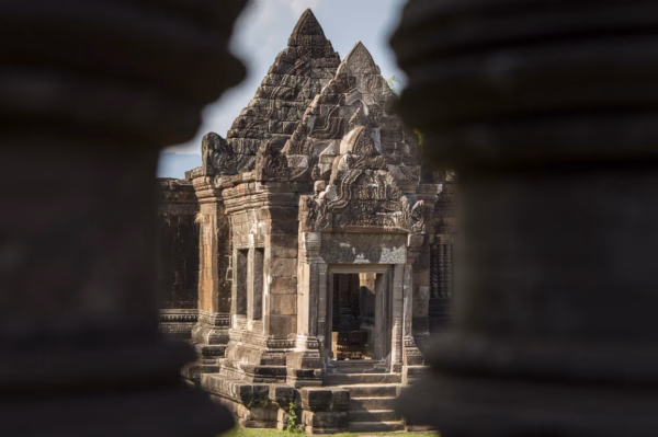
Online Exhibition of the Vat Phou Champasak Ruins and the Excavation of Hong Nang Sida
The Vat Phou - Champasak site lies on fertile alluvial plains on the banks of the Mekong River, and its mountainous core is the eastern outlier of the Dângrêk Range, which is home to the Phou Kao Mountains that rise up to an altitude of 1,416 meters.
Natural History
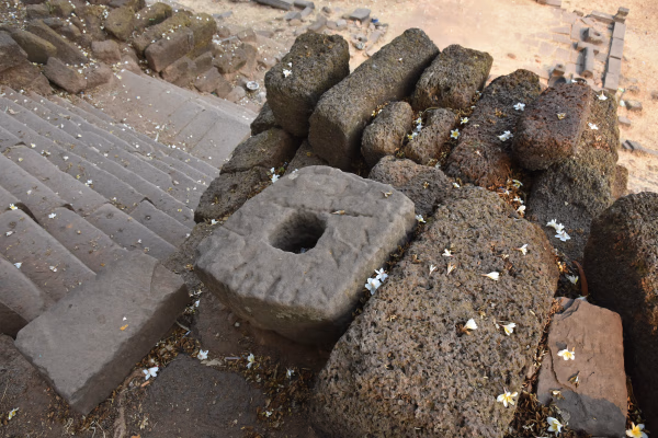
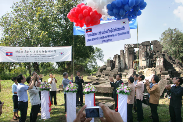
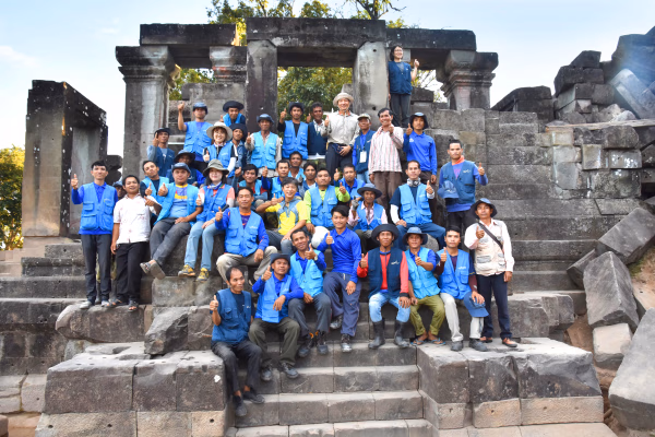
Lao-Korea Cooperation Project : Hong Nang Sida Temple
Since 2013, the Cultural Heritage Administration and the Korea Cultural Heritage Foundation have been working on a heritage restoration project at the World Heritage Site “Vat Phou and Associated Ancient Settlements within the Champasak Cultural Landscape” in Lao PDR. The project focuses on restoring the collapsed stone structure called Hong Nang Sida, located in the southern part of the Vat Phou Temple Complex. This site, also known as the “Temple of Princess Sida,” is gradually regaining its original appearance thanks to the ongoing restoration efforts by a Korean research team.
Natural History
Sacred River
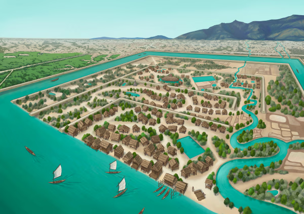
The archaeological site of the ancient city is situated on the plains adjacent to the Mekong River. The city was surrounded by two layers of brick and earthen ramparts, with a moat in between. These ramparts measured approximately 2.4 km from north to south and 1.8 km from east to west, with the best-preserved sections standing up to 6 meters high and 14 meters thick. The walls and moats were likely constructed to manage and utilize the waters from the Phou Kao Mountains' tributaries.